
Understanding the Phenomenon of Virga
An Explanation from AEMET
The State Meteorological Agency (AEMET) explained on Friday what the phenomenon of virga involves. Virga occurs when precipitation conditions exist, but the atmosphere below is so dry that it evaporates before reaching the ground.
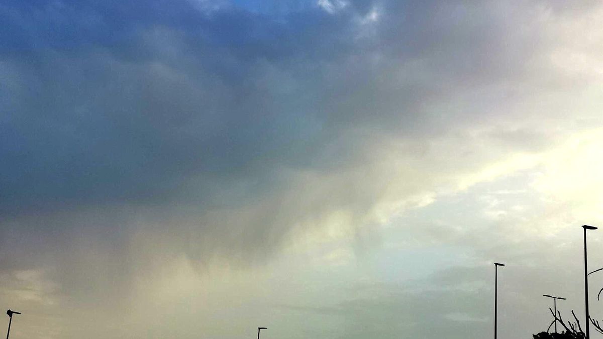
Observation at Gran Canaria Airport
A photograph of virga was taken at Gran Canaria Airport by an on-duty observer.
Meteorological Insights
AEMET provided a diagram illustrating that the continuous red line represents temperature at each level, while the dotted line indicates the dew point. “When they are close together, there is more humidity; when they separate, the atmosphere is drier. This is also reflected in the second column on the right, where relative humidity at each level is shown (just prior to this is the height in metres).”
The agency highlighted that the survey indicates the atmosphere is quite humid below the inversion layer and remains humid up to about 4,500 metres. This is what generates the middle-level cloudiness that is also visible on satellite images.
“The precipitation occurring at that level evaporates just below and does not reach the surface, leaving those virga clearly visible in the first photograph.”


