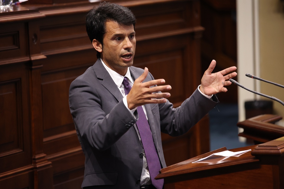
The Canary Islands Parliament convened on Thursday for the Ecological Transition and Energy Committee, where Socialist MP Marcos Bergaz questioned the regional Minister for Ecological Transition and Energy, Mariano Zapata (PP), about the “failed” Renewable Acceleration Zone (ZAR) in Lanzarote and La Graciosa.
According to the Protocol signed by the Ministry of Transition and the Cabildo of Lanzarote, published on 20 August, the ZAR was intended to encompass a total of 3,163 hectares, equivalent to 4,200 football pitches, making up 3.75% of the island’s territory.
“We say intended, because it seems there will be changes,” noted MP Bergaz, referencing the recent statements from the Cabildo and the reactions following the publication, which range from a lack of participation and municipal consensus to denouncing the excessive area proposed as nonsense.
“These reactions were expected, given the implications for future wind and solar installations on an island that relies on its landscape. In fact,” Bergaz added, “months ago we called on the Canary Government to act wisely, with consensus and planning in determining the ZAR, essential for combating climate change and meeting the 2030 targets, but not at any price or place.”
While Minister Mariano Zapata (PP) defended the proposal’s robustness in his remarks, stating, “Lanzarote is the first island in the archipelago to have a formal agreement delineating its suitable land. The designated area amounts to 3,100 hectares, which corresponds to 3.75% of the island’s surface, although only 0.23% of the territory would be needed to achieve the objectives on this island,” he also noted a “material error, purely administrative,” which he did not specify despite MP Bergaz’s request.
Hours later, the Cabildo announced the restart of the procedure to determine the Renewable Acceleration Zone: “We will begin the process anew,” following complaints that the reserved area and the published maps do not align with the agreement and the press release from the official bulletin of the Canary Islands.
“Certainly, we require a detailed explanation of what transpired, the blunder with this ‘failed’ ZAR, and clarification on whether we are facing a simple material error or a substantial revision of the proposal presented ‘with great fanfare’ this July, signed by the Cabildo president, nationalist Oswaldo Betancort (CC), and the Minister for Ecological Transition, Mariano Zapata (PP),” asserted Bergaz.
“In addition to the necessary clarifications and corrections, we insist on the need to determine the ZAR with care and in consensus with the municipalities, as both the island institution and the seven town halls are equally important, especially given the problematic history of attempts to introduce new wind farms or photovoltaic plants via the exceptional 6 bis route, contrary to municipal will,” concluded the MP.
Data on the Renewable Acceleration Zone in Lanzarote
The concept of acceleration zones is included in Decree-Law 5/2024, which modified the current Climate Change and Energy Transition Law of the Canary Islands from 2022, aiming to “expedite the penetration of clean energy generation sources in the islands,” particularly in the establishment of wind farms and photovoltaic plants, by easing administrative and environmental procedures.
According to official information published following the ZAR presentation for the island of Lanzarote by the Government of the Canary Islands and the Cabildo, which is now under scrutiny, the designated area suitable as a ZAR would be an allocation of 3,163.89 hectares, equivalent to 3.75% of the total island area. To achieve the decarbonisation targets for 2030, the actual occupation area is estimated to be 0.23% of the island’s surface, as detailed in the following link, which also outlines the locations.


