
Canarian Government Launches Coastal Adaptation Study
Critical Infrastructure at Risk from Climate Change
The Canarian Government’s Ministry of Ecological Transition has initiated a measurement campaign along the coastline between Puerto del Rosario’s dock and the Las Salinas industrial area in Fuerteventura. This effort aims to devise adaptation measures in response to rising sea levels and coastal erosion.
The budget allocated for assessments across six areas in the Canary Islands totals €111,300. The overarching project, AdaptaCost6, boasts a total investment of €2,317,300, as announced in a government statement.
Detailed Submarine Mapping Conducted
This operation has enabled the creation of a detailed submarine map covering an area of 3.7 million square metres, with a resolution of 0.25 metres. Sediment samples have also been collected to analyse the texture and characteristics of the substrate.
Mariano Hernández Zapata, the Minister for Ecological Transition and Energy, emphasised that “Puerto del Rosario is a strategic yet vulnerable location facing the impacts of climate change, as critical infrastructures like the thermal power plant and the desalination plant converge here, alongside residential areas such as El Charco.”
Scientific Data to Inform Future Planning
He further noted, “Having high-precision scientific information allows us to anticipate risks, reduce uncertainties, and design effective adaptation solutions that will ensure the safety of the population and essential services in the coming decades.”
Additionally, he recalled that the gathered data will facilitate the development of high-resolution climate scenarios for 2050. These scenarios will simulate various flooding and erosion situations, forming the foundation for prioritising and sizing adaptation measures within the Canary Islands’ coastal resilience strategy.
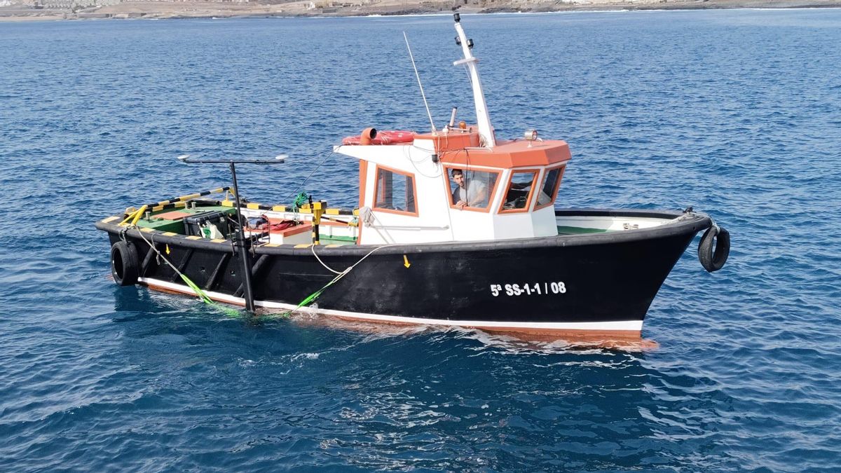
Field Campaigns Conducted by ECOS
The work has been carried out by ECOS, Environmental Studies and Oceanography, contracted by Tragsatec, the entity responsible for coordinating the AdaptaCost6 project.
Field campaigns took place from June to August 2025, employing multi-beam echo sounding, inertial navigation, and motion compensation techniques to ensure the precision of the results.
The study of Puerto del Rosario is part of the AdaptaCost6 initiative, which encompasses a total of six coastal areas across the Canary Islands, including Fuerteventura, La Palma, La Gomera, Tenerife, Gran Canaria, and Lanzarote.


