The Government of the Canary Islands, through the General Directorate of Emergencies, has declared several situations of pre-alert and alert in the islands starting from Sunday 14 September and Monday 15, in accordance with the regional emergency plans and following information received from the State Meteorological Agency (Aemet) and other available sources.
Pre-Alert for Wind
From 18:00 hours on Sunday 14, a pre-alert for wind has been declared across the Archipelago.
- La Palma: Mazo, Fuencaliente, El Paso, Garafía, and high areas of Puntagorda and Tijarafe.
- El Hierro.
- La Gomera: Vallehermoso, Valle Gran Rey, Alajeró, and San Sebastián de La Gomera.
- Tenerife: Macizo de Teno, Santiago del Teide, Granadilla, Arico, Fasnia, Güímar, Arafo, Candelaria, El Rosario, La Laguna, and Santa Cruz de Tenerife.
- Gran Canaria: Gáldar, Agaete, Artenara, Tejeda, the coast of La Aldea, the coastline of Santa Lucía de Tirajana, Agüimes, Ingenio, and Telde.
- Fuerteventura: Pájara, Tuineje, Betancuria, and the western half of Puerto del Rosario.
- Lanzarote: Yaiza, Teguise, Arrecife, and the western coast of Haría.
The forecast indicates moderate to strong winds from the northeast, with possible gusts exceeding 50-70 km/h.
Pre-Alert for Coastal Phenomena
Also from 18:00 hours on Sunday 14, a pre-alert for coastal phenomena has been activated in the western islands and Gran Canaria:
- La Palma: coastline of Garafía, Fuencaliente, and Mazo.
- El Hierro: western and southeastern coast.
- La Gomera: northwestern and southeastern coastline.
- Tenerife: the coast of Buenavista del Norte and the stretch from Candelaria to San Miguel de Abona in the southeast.
- Gran Canaria: coastline of Gáldar, Agaete, Artenara, La Aldea, Santa Lucía de Tirajana, Agüimes, and Ingenio.
- In addition, the offshore area between the islands of higher relief will also be affected.
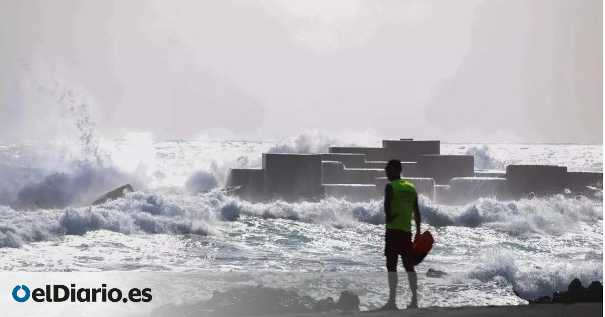
The forecast suggests winds of force 6-7 from the northeast (39-61 km/h), with gusts reaching 50-70 km/h, significant swells, and swell from the north of 1-2 metres, along with combined waves reaching 2-2.5 metres.
Pre-Alert for High Temperatures
Starting from 11:00 hours on Monday 15 September, a pre-alert for maximum temperatures has been declared in Gran Canaria.
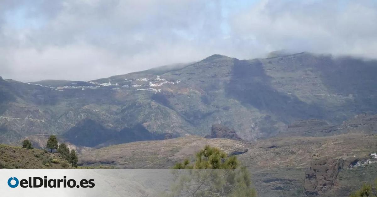
- Scope: northern midlands, the summit, and the eastern, southern, and western slopes of the island.
A heat event is expected, with temperatures likely reaching or exceeding 30-34 ºC, accompanied by high-altitude dust.
Alert for Forest Fire Risks
Simultaneously, from 10:00 hours on Monday 15, an alert for the risk of forest fires has been activated in Gran Canaria.
- Scope: areas situated above 400 metres altitude.
The expected conditions are maximum temperatures of 30-34 ºC, thermal inversion below 600 metres, relative humidity equal to or less than 30% from 700-800 metres, and light to moderate winds from the east and southeast in the midlands, high areas, and summit.
The pre-alert for forest fire risks declared on 1 June 2025 remains in effect in El Hierro, La Palma, La Gomera, and Tenerife.


