
El Rosario’s Advanced Forest Fire Emergency Plan Recognised as the Most Progressive in the Canary Islands
The El Rosario City Council has the most advanced Municipal Action Plan for Forest Fire Emergencies in the Canary Islands. This recognition comes from the Department of Territorial Policy of the Canary Islands Government, which is responsible for endorsing such planning instruments.
However, it has not only been a pioneer in acquiring this tool. It has also implemented an ordinance that goes further than simply asking residents to keep their plots of land clear of vegetation that could propagate fire, particularly those closer to the forest. Those who fail to comply will face penalties.
Fines for violating this obligation within 500 metres around private property range between €60 and €3,000.
Deterrent Effect
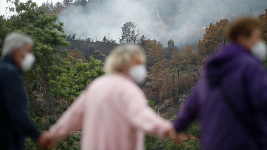
Escolástico Gil, the mayor of El Rosario, believes that the fire in 2023 had a more significant deterrent effect than the fines themselves among residents.
“Seeing the flames so close to homes two years ago really raised awareness among residents about the need for preventive measures to stop a fire from spreading and affecting properties and people,” he explains about a disaster that ultimately had serious consequences “by miracle.”
In any case, Escolástico Gil insists that penalty procedures have had to be initiated against those who have not responded to various warnings. “The ordinance is clear and must be adhered to. It is for the benefit of everyone. Thanks to this and other measures, significant progress has been made in removing dry vegetation in interface areas,” the mayor explained.
The Municipal Action Plan for Forest Fire Emergencies in El Rosario details in its 52 pages what the council resources and residents must do not only to prevent a fire but also to tackle it should it spiral out of control. In the introduction, it recalls that during the fire of 2023— which caused severe damage to the Forest Crown of Tenerife, the largest protected area in the Canary Islands and the green belt surrounding the entire Island—601 hectares were burned in this metropolitan area.
High Danger
Examining the risk zoning map clearly explains why the City Council has emphasised this instrument. Its main populations (totalling 18,000 inhabitants) are located in areas of high or very high danger: La Esperanza, the capital of El Rosario, Peñafiel, Lomo Pelado, Las Rosas, Preventorio, and Las Barreras. All are situated at the interface, the boundary between urban-rural areas and the district.
The plan also stipulates who leads emergency operations—the mayor or the councillor for Civil Protection—who controls them (the Municipal Operational Coordination Centre, Cecopal), and where to relocate the population and animals that need to be evacuated. The designated evacuation points for residents are the municipal pavilion Llano del Moro, the public school Machado, the sports complex El Chorrillo Leticia Batista, and the school San Isidro.
For animals, both livestock and pets, the chosen location, which was also used in 2023, is the football field Maximiliano Bacallado. The plan concludes with citizen action protocols for areas of low and high risk.


 commemorates its centenary as a Villa today, a title granted by King Alfonso XIII.")


