The Government of the Canary Islands has urged the public to implement self-protection recommendations due to the forecast of warm, dry air moving into the archipelago. This weather pattern is expected to lead to rising temperatures, coupled with hazy conditions at higher altitudes, increased wind gusts, and rough sea conditions. Residents are advised to exercise caution in light of these developments.
In view of these conditions, the General Directorate of Emergencies has declared a pre-alert situation for wind affecting various areas across all the islands and a pre-alert for adverse coastal phenomena in the western islands and Gran Canaria, starting at 18:00 on Sunday, 14 September.
Areas Affected by Wind Conditions
The declaration regarding wind gusts will impact El Hierro, La Palma (Mazo, Fuencaliente, El Paso, Garafía, and higher areas of Puntagorda and Tijarafe); La Gomera (Vallehermoso, Valle Gran Rey, Alajeró, and San Sebastián de La Gomera); Tenerife (Macizo de Teno, Santiago del Teide, Granadilla, Arico, Fasnia, Güímar, Arafo, Candelaria, El Rosario, La Laguna, and Santa Cruz de Tenerife); Gran Canaria (Gáldar, Agaete, Artenara, Tejeda, the coast of La Aldea, and the coastlines of Santa Lucía de Tirajana, Agüimes, Ingenio, and Telde); Fuerteventura (Pájara, Tuineje, Betancuria, and the western half of Puerto del Rosario); and Lanzarote (Yaiza, Teguise, Arrecife, and the western coast of Haría).
Coastal Conditions and Fire Alerts
The worsening sea conditions are expected to reach the coastlines of Garafía, Fuencaliente, and Mazo on La Palma; the western and southeastern coasts of El Hierro; the northwest and southeast coasts of La Gomera; the coasts from Buenavista del Norte to Candelaria and onwards to San Miguel de Abona in southeast Tenerife; and coastal areas in Gran Canaria including Gáldar, Agaete, Artenara, La Aldea, Santa Lucía de Tirajana, Agüimes, and Ingenio, as well as offshore between the more prominent islands.
Furthermore, starting tomorrow, Monday, 15 September, a fire risk warning will also be in effect in Gran Canaria for elevations above 400 metres, beginning at 10:00, alongside a pre-alert for maximum temperatures in the mid-elevations of the northern areas, the summit, and the eastern, southern, and western slopes of the island from 11:00 onwards.
The pre-alert situation for fire risk will remain in effect across the western islands.
Weather Forecast and Recommendations
These decisions are based on information provided by the State Meteorological Agency and other available sources, in accordance with the Special Civil Protection Plan and Emergency Attention for Forest Fires in the Autonomous Community of the Canary Islands (INFOCA) and the Specific Emergency Plan for Adverse Meteorological Phenomena (PEFMA).
The weather forecast indicates moderate to strong winds from the northeast, with possible strong and very strong gusts reaching or exceeding 50 to 70 kilometres per hour.
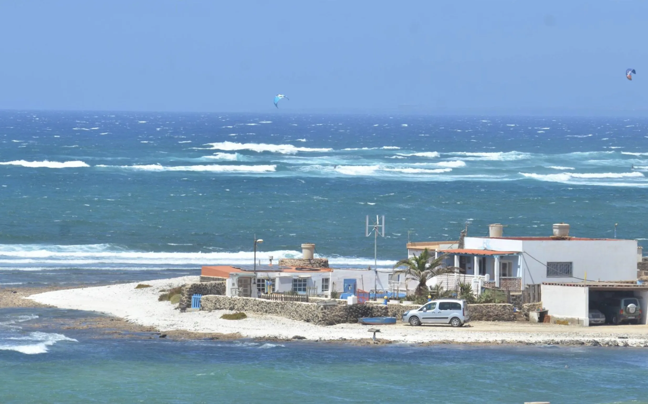
At sea, winds will blow from the northeast with a strength of 6 to 7 (39 to 61 kilometres per hour), with the possibility of strong and very strong gusts (50 to 70 km/h). Additionally, these areas will experience high swells and wave heights from the north of 1 to 2 metres, with combined seas possibly exceeding 2 to 2.5 metres.
The heatwave in Gran Canaria will also affect forested areas, with maximum temperatures likely reaching or exceeding 30 to 34ºC. Furthermore, the temperature inversion will be located below 600 metres, and relative humidity will be 30% or lower from approximately 700 to 800 metres, all accompanied by haze at higher altitudes.
Self-Protection Recommendations
Given these circumstances, the Government of the Canary Islands recommends that residents take all necessary precautions to minimise risks and accidents.
In this regard, to prevent a forest fire, it is crucial to avoid discarding lit cigarettes, matches, or waste in wooded areas. Additionally, avoid using fireworks, firecrackers, or any incendiary devices in high-risk zones, whether open fields, agricultural lands, or urban areas surrounded by forests.
It is also essential to adhere to any restrictions imposed by local councils and municipalities concerning access to forest areas and to avoid any work in these zones until this risk passes.
Regarding rising temperatures, it is advisable not to engage in physical activities during peak hours, remain in cool places, drink plenty of fluids, and protect oneself from the sun when outdoors. Moreover, light, regular meals are recommended, along with avoiding alcohol consumption, among other guidelines.
Considering the wind gusts and mobility—whether by vehicle or on foot—extra caution is needed for potential obstacles along the way, such as tree branches or street furniture, and avoid walking through gardens or wooded areas.
In coastal areas, it is vital to steer clear of piers and breakwaters, and not to linger near the sea to avoid being struck or swept away by waves. Additionally, it is advised to postpone nautical or sporting activities and refrain from swimming in remote or unsupervised beaches.
In any emergency situation, please call 112 immediately. The Government urges the public to exercise caution in light of the warm, dry air mass moving into the archipelago.


