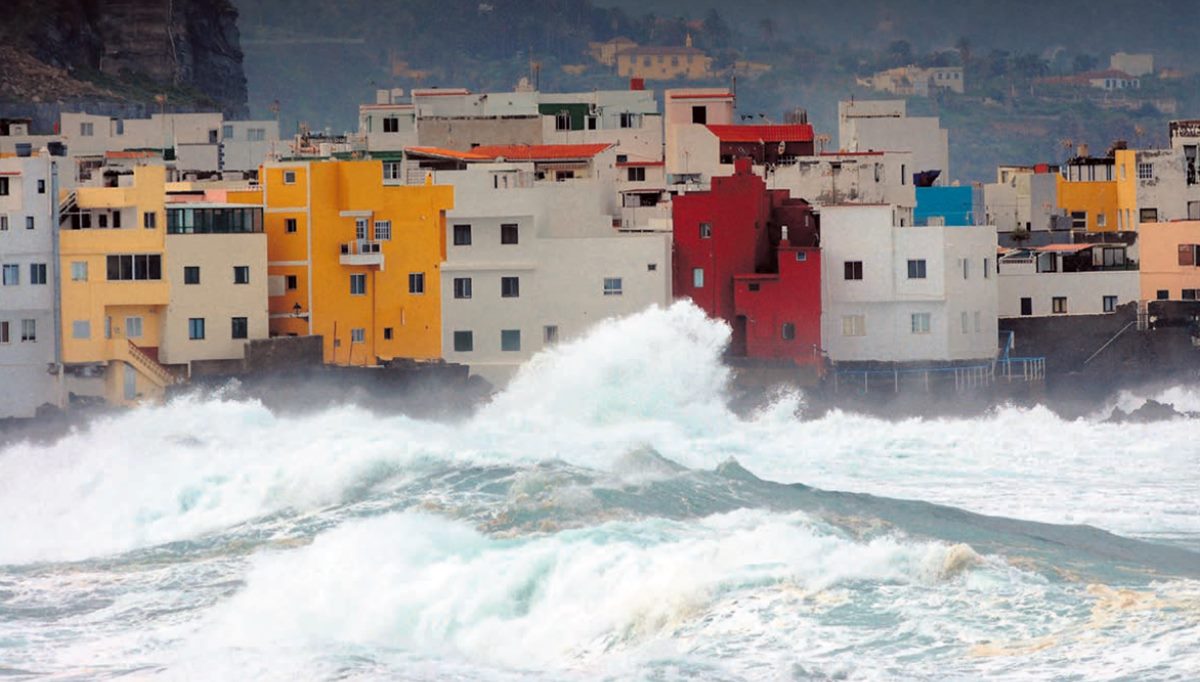
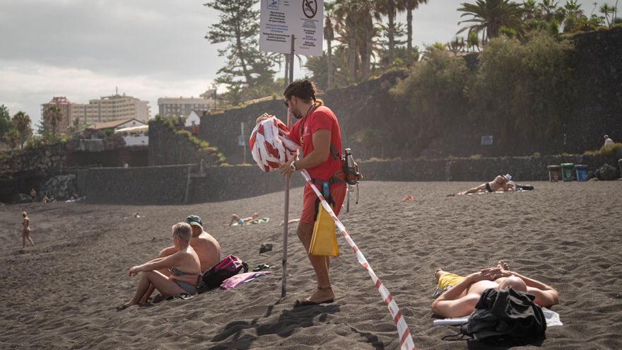
The sea level in the Canary Islands has risen by up to ten centimetres in the last 50 years. While the most conservative predictions suggest a rise of half a metre by the end of this century, other estimates foresee a more accelerated increase of over 90 centimetres in the next 75 years. This data is recorded on the website of the Department for Ecological Transition of the Canary Island Government, which warns that variations in the coastline will primarily affect low-lying areas, where major beaches and tourist zones are situated.
The Climate Change Risk Assessment Report, published in 2022 by the public cartographic company Grafcan, indicates that by 2100, residents in the highest risk areas of the Archipelago will have to relocate further inland due to flooding and coastal erosion. They will be the first climate refugees within the Islands.
The analysis warns of the significant risk facing 140 kilometres of coastline (nearly 10% of the island’s shoreline) and identifies 47 danger points across the eight islands: 12 in Fuerteventura, 10 in Tenerife, 9 in Lanzarote, 7 in Gran Canaria, 5 in La Palma, 2 in La Gomera, 1 in El Hierro, and 1 in La Graciosa. This includes Garachico (a municipality historically affected by storm surges), Maspalomas in Gran Canaria, and Famara beach in Lanzarote.
NASA STUDIES
NASA’s projections highlight the vulnerability of insular territories such as the Canary Islands, exposed to risks like the loss of coastal areas, which will disrupt natural ecosystems and tourist infrastructures. They also warn of coastal erosion, as rising sea levels will lead to more intense waves and tides on the beaches. Lastly, they emphasise the impacts on biodiversity, with irreversible consequences for the habitats of endemic species due to saline flooding.
Greenpeace’s report, *Crisis at Any Cost 2024*, raises alarm over the anticipated loss of beaches in the Archipelago over the next decade and reminds us that 4% of homes in the Canary Islands are located in flood-prone areas. The study argues that the rise in sea level will affect nearly the entire shoreline of the Islands, with the impact being more pronounced in the northern half of Tenerife and certain areas in the south, including Adeje, Los Cristianos, Las Galletas, and El Médano.
Beach Loss Due to Rising Sea Levels
In the least unfavourable scenario (a moderate sea level rise by the end of the century), Greenpeace predicts a loss of beach area by up to 48%, a figure that climbs to 80% in a scenario of accelerated global warming due to high pollutant emissions.
Furthermore, the environmental organisation’s report warns about the effects of rising ocean temperatures – marine heatwaves have become increasingly frequent over the last five years, although the Spanish Institute of Oceanography states that the warming will be “relatively moderate” compared to other parts of the world. This results in a decrease in dissolved oxygen levels in water, compounded by acidification caused by pollution.
These factors, which are already causing severe damage to biodiversity and marine ecosystems, create conditions conducive to the formation of cold drops or *danas*, as well as tropical storms, cyclones, and hurricanes, as warmer water evaporates more readily, acting as fuel for these atmospheric events.
“The solutions applied so far, such as artificial beach regeneration and the reconstruction of promenades, are no longer effective,” highlights Greenpeace, which calls for local, island-wide, regional, and national measures to mitigate damage.
Among the actions proposed by the NGO is urban planning that incorporates climate change forecasts and “capping” mass tourism by “limiting flights and cruises and establishing fees that contribute to public services.”
Pilot Project
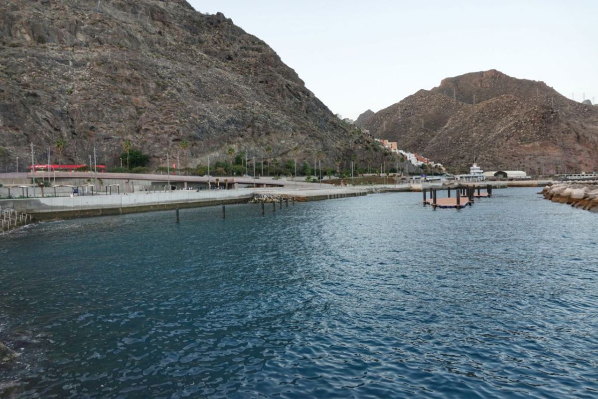
The village of Las Galletas, one of the areas most affected by the action of high tides in southern Tenerife, will be the first in the Canary Islands to implement the protocol known as the Climate Action Plan (PAC), aimed at expediting defence works against rising sea levels.
A tripartite agreement among the Canary Island Government, the Cabildo of Tenerife, and the Arona City Council will streamline bureaucratic procedures – and thus timelines – for undertaking three key actions: the removal of the coastal road (Avenida del Atlántico) to establish a new route inland; the creation of tidal pools along the beachfront; and enhancing the resilience of the urban area with new protective measures against extreme marine events.


