Stable Weather to Predominate this Sunday Across the Peninsula Except for Rain Alerts in Catalonia and Valencia

This Sunday, stable weather will prevail across the Peninsula, except for Catalonia and Valencia, which are on alert for rain.
MADRID/SANTA CRUZ DE TENERIFE, 14 Sep. (EUROPA PRESS) –
The Canary Islands will generally experience clear skies today, except in the northern mountainous areas, where there will be intervals below 800 metres, according to the forecast from the State Meteorological Agency (Aemet).
Temperature-wise, little change is expected, with highs reaching between 30 and 32 °C in the southern regions of the eastern islands. In the southeast slopes of Tenerife and the west of La Palma, temperatures may also hit 30 °C.
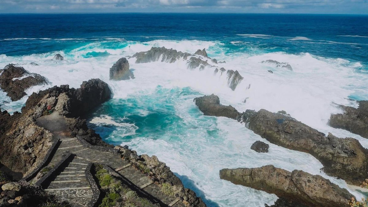
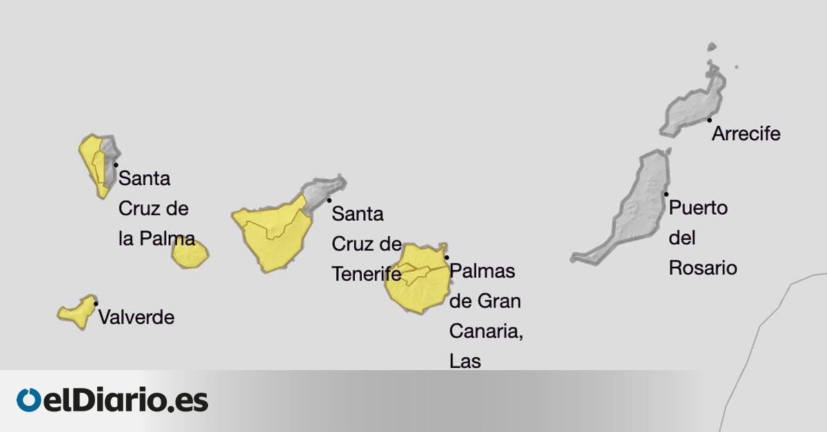
Tenerife, La Palma, La Gomera, and El Hierro will be under a yellow alert for strong winds and rough seas, a situation that Gran Canaria will also experience. Winds are expected to blow moderately from the northeast, with strong gusts in the southeast and northwest slopes of the mountainous islands, with very strong gusts possible in the latter part of the day.
Furthermore, very strong gusts may occur in the El Paso area in La Palma, the southeastern slopes of Tenerife, and in elevated and exposed areas of La Gomera and El Hierro.
ACROSS THE REST OF THE COUNTRY
Throughout the Peninsula, this Sunday will be marked by stability and rising temperatures; however, Catalonia and the Valencia Community will activate rain alerts in the early hours.
Specifically, warnings for rain and storms will affect the provinces of Tarragona and Castellón during the early hours due to the arrival of a moist Mediterranean air mass that will bring abundant cloud cover and significant rainfall.
Moreover, the Canary Islands will issue warnings for Gran Canaria, La Palma, La Gomera, El Hierro, and Tenerife due to forecasts of strong winds and rough seas, while Cádiz, Córdoba, and Granada in Andalusia will activate a yellow alert for high temperatures.
On a broader note regarding the meteorological evolution of the day, Aemet anticipates a stable situation with mostly clear or slightly cloudy skies across the majority of the country.
However, similar to the eastern flank of the Peninsula, the western coast will experience the arrival of an Atlantic moist air mass, although the impact in this region will be limited to cloudy skies or overcast conditions with weak and scattered precipitation in western Galicia.
Lower cloud cover is also expected in the northern regions of the more mountainous Canary Islands, while the afternoon will see periods of developing clouds in the eastern interior of the Peninsula.
Aemet has also noted the potential for morning fog banks in the interiors of the northern and eastern thirds of the Peninsula and in parts of the Balearics, along with possible coastal mists in the Alboran Sea and the Atlantic coastal areas of Galicia.
Regarding temperatures, maximum temperatures are predicted to weaken in the Valencia Community, Murcia, Almería, and surrounding areas, while they will increase in the Canary Islands, Ceuta, Melilla, and northern regions of the Peninsula, particularly in the eastern Cantabrian interior and high Ebro.
It is noteworthy that temperatures in the Guadalquivir area will climb to between 36 and 38 °C.
As for the minimum temperatures, an increase is expected in the northwestern third of the Peninsula, while declines are forecasted in the Ebro and other northeastern depressions, with little change elsewhere, and minimums will not drop below 20 °C along Mediterranean and Guadalquivir coastlines.
Concerning winds, trade winds are predicted in the Canary Islands with strong intervals and very strong gusts, while in the Peninsula and Balearics, winds will generally be light, with moderate intervals along coasts, particularly in northern Galicia with possible strong bursts.
The wind will predominantly come from the east in the Levante and southeastern quadrant of the Peninsula, with westerlies in the Strait and Alboran shifting to easterly, and prevailing westerly and northerly components in the rest of the region.


