Weather Forecast: August 24, 2023

MADRID/SANTA CRUZ DE TENERIFE – 24 August (EUROPA PRESS) –
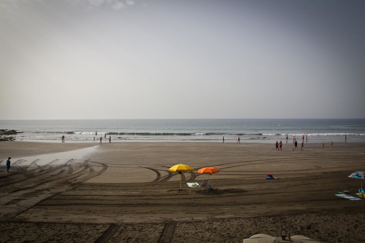
The State Meteorological Agency (AEMET) predicts mostly clear skies and high clouds across the archipelago this Monday. However, the northern regions will experience overcast intervals, which are expected to clear to wide sunny spells by the afternoon, although light and occasional rain is possible later in the day.
Temperatures will see little change along the coasts, though moderate decreases are expected in the midlands and highlands of the islands, particularly concerning the maximum temperatures.
The wind will blow moderately from the north to northeast, with strong intervals expected on the southeast and northwest slopes, especially during the afternoon and evening in the peaks and midlands of Gran Canaria and La Gomera.
There is a possibility of very strong gusts in these areas towards the end of the day. Meanwhile, in the southwest of the mountainous islands, sea breezes will prevail.
REST OF SPAIN
Across the rest of Spain, the day is expected to be marked by clouds that will bring locally heavy showers and storms to the Pyrenees and certain regions of Aragon, Catalonia, Valencia, and the Balearic Islands. Maximum temperatures will rise in the southwest and northeast quadrants, with little change elsewhere.
Additionally, a low-pressure system is forecast to occur in the southwest of the Peninsula, although its trajectory remains uncertain; it is expected to be absorbed by the overall circulation.
The forecast indicates low clouds and patches of morning fog in Galicia, the Cantabrian region, the upper Ebro, and the Strait, as well as in parts of the eastern third and the Balearic Islands.
From the outset, there will be abundant mid and high-level cloud cover in Alboran, the eastern half of the Peninsula, and the Balearic Islands. These clouds will move from south to north, with the possibility of showers and storms, particularly likely in the northeast and east during the afternoon.
AEMET notes that these storms may be locally severe in the Pyrenees and other areas of Aragon, Catalonia, northern Valencia, and the Balearic Islands.
CLOUD COVER IN MUCH OF THE INTERIOR
Additionally, development of cloudiness is expected over much of the interior of the Peninsula, leading to scattered showers or storms in the western Cantabrian region and the Strait.
In northern areas, overcast intervals with possible light rain are anticipated. Dust storms are also likely in Alboran, the southeast third, and the Balearic Islands.
Temperatures will rise in the southwest and northeast quadrants; maximums will decrease in the Canary Islands, with little change elsewhere. Temperatures could exceed 35 degrees in the Guadalquivir, Guadiana, Tagus, and Ebro basins.
Minimum temperatures will drop in regions of the western Peninsula, while increasing in the Cantabrian region, southern regions, and the eastern third. In other areas, temperatures will be similar to those of this Sunday, not falling below 20 degrees in the Mediterranean area, Ebro, and large swathes of the southern half.
Regarding winds, generally light breezes are expected in the Peninsula and the Balearic Islands, intensifying along the coasts. Winds will predominantly blow from the northwest in Galicia, from the south inland, locally moderate easterlies in the eastern Mediterranean, and variable in Alboran.


